
Navigation
When satellite networks degrade or electronic devices lose power, analog orienteering remains an indispensable survival discipline. Mastering topographic map reading, magnetic declination adjustments, dead reckoning, and celestial position finding ensures you can traverse unfamiliar terrain discreetly and reach safety without broadcasting your position.
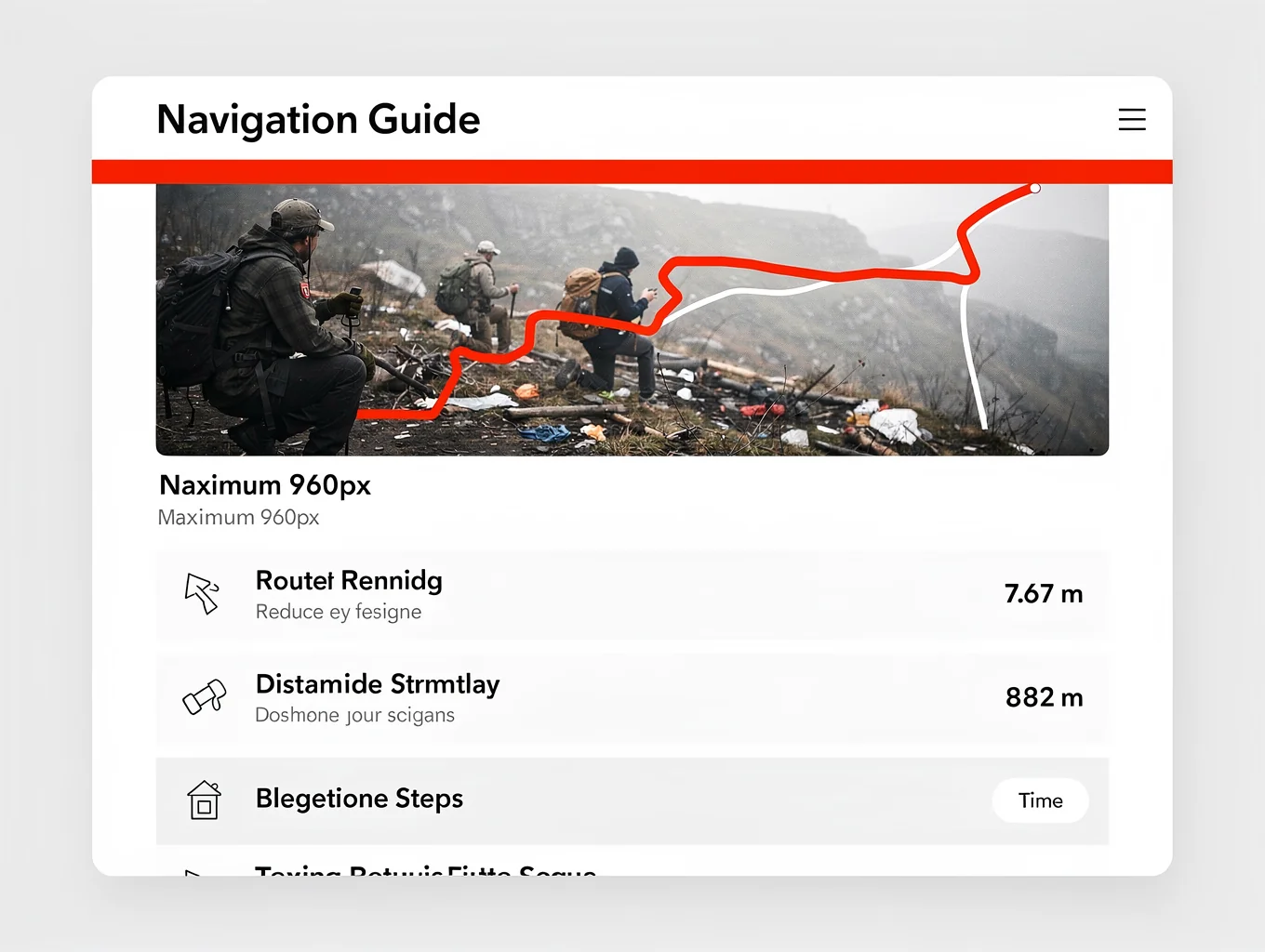
Critical Field Directives
- Never rely solely on digital screens or GNSS signals that emit RF signatures and can fail unexpectedly.
- Preset magnetic declination on an adjustable sighting compass before departing your operational staging base.
- Maintain disciplined pace counts and log terrain backstops to prevent catastrophic overshooting in low visibility.
- Practice dead reckoning by chaining concise bearing segments between recognizable, defensible ground waypoints.
- Validate your compass headings against solar shadows by day and Polaris or the Southern Cross by night.
Topographic Map Orientation & Declination Management
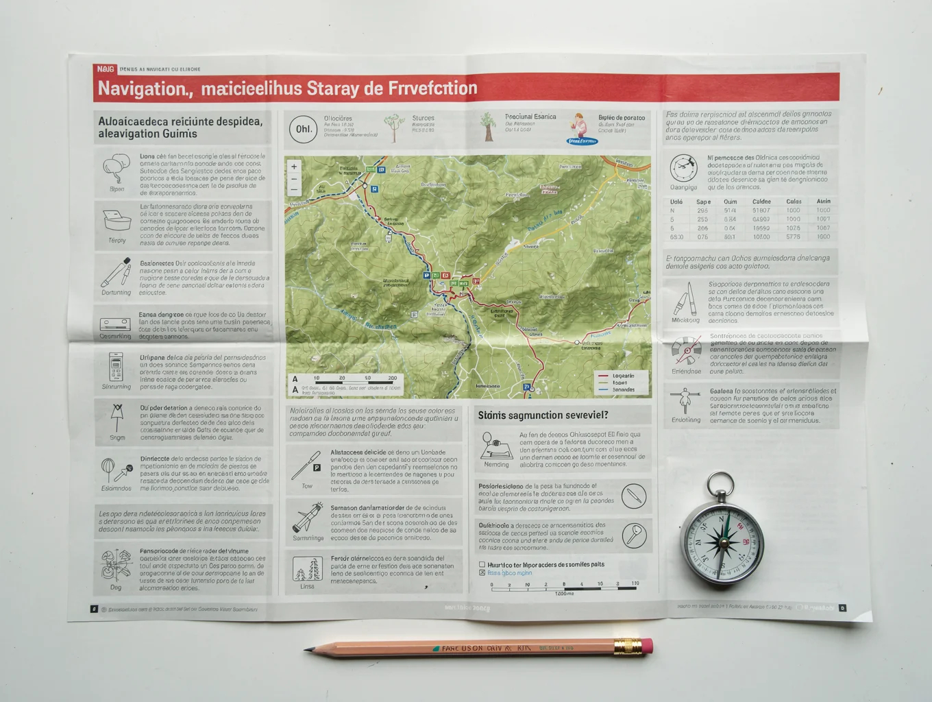
A standard topographic map translates three-dimensional landscape relief into actionable two-dimensional data. Understanding contour lines, elevation intervals, index contours, and geographic slope profiles allows you to identify viable ridgelines, defilade travel corridors, and natural water obstacles before committing to an overland route.
Because true north and magnetic north diverge depending on geographic location, failing to calibrate for magnetic declination produces cumulative navigational drift. Regularly verify your local declination diagram, adjust your compass baseplate dial or internal gear mechanism, and align map grid lines directly to ambient terrain using linear landmarks.
- 1Inspect the map collar for current declination angle, grid convergence values, and publication date.
- 2Rotate the declination adjustment screw on your baseplate compass to lock in the regional offset angle.
- 3Lay the compass edge parallel to the map's north-south grid lines with the direction-of-travel arrow oriented north.
- 4Rotate both map and compass as a single unit until the magnetic needle seats cleanly within the orienting arrow outline.
Dead Reckoning & Terrain Backstops
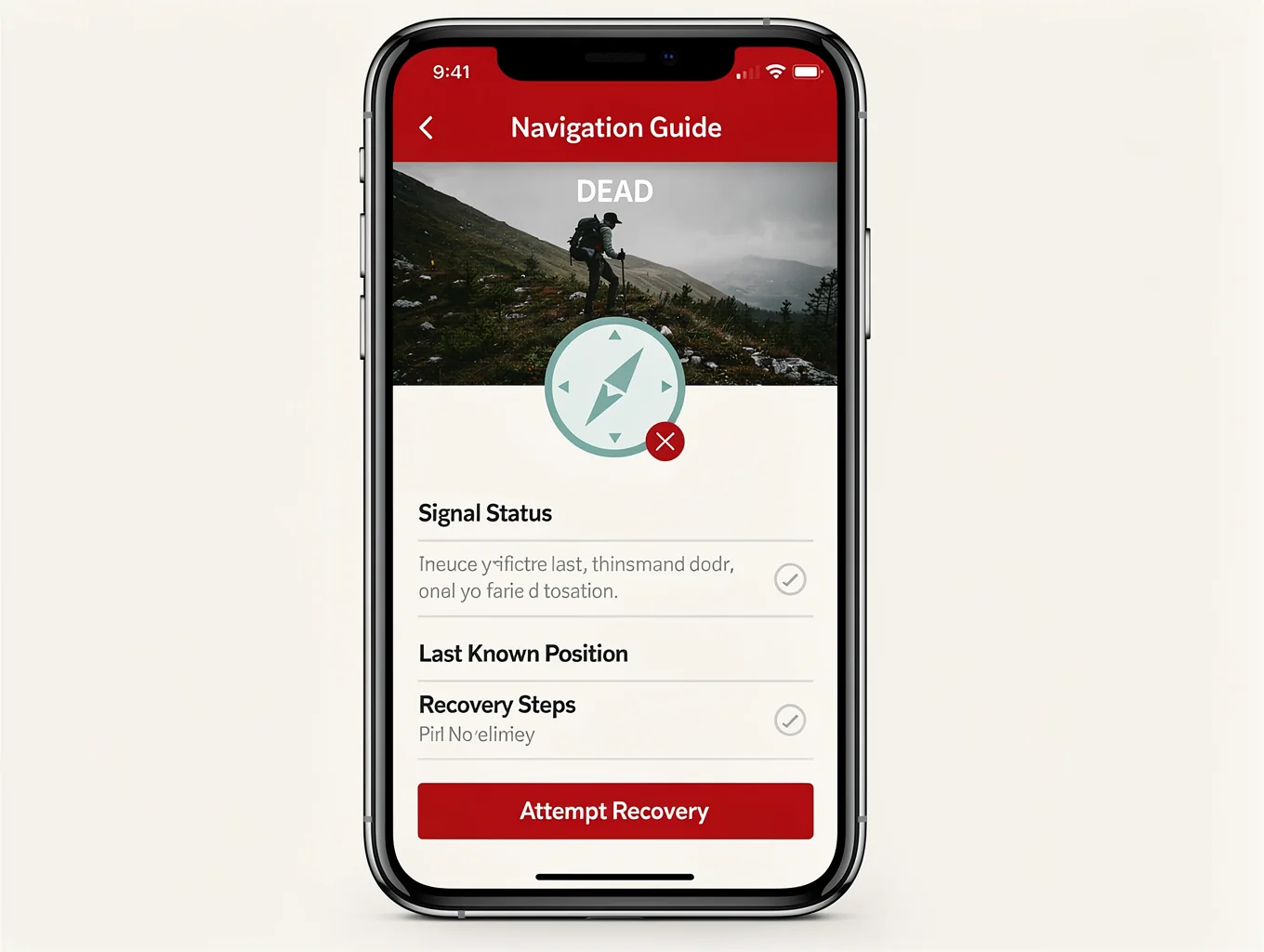
Dead reckoning involves moving from a known fix along an exact compass bearing for an estimated distance calculated via pace counts. This technique proves critical when traversing thick timber, dense fog, snowstorms, or nighttime environments where visual horizon references disappear.
To mitigate distance measurement errors, designate linear terrain backstops—such as pronounced ridgelines, creeks, railway embankments, or power line cuts—perpendicular to your path of travel. If you encounter your designated backstop, you immediately know you have reached your destination perimeter without having overshot into hazardous exposure.
- 1Establish an accurate personal pace count across a measured 100-meter baseline on both flat and rugged terrain.
- 2Sight a distinct intermediate landmark along your desired azimuth and move deliberately toward that intermediate mark.
- 3Tally pace count beads or knotted cord intervals every 100 meters to keep continuous track of elapsed distance.
- 4Identify an unmistakable linear terrain backstop past your objective to catch yourself if you drift off course.
Low-Profile Route Selection & Handrails
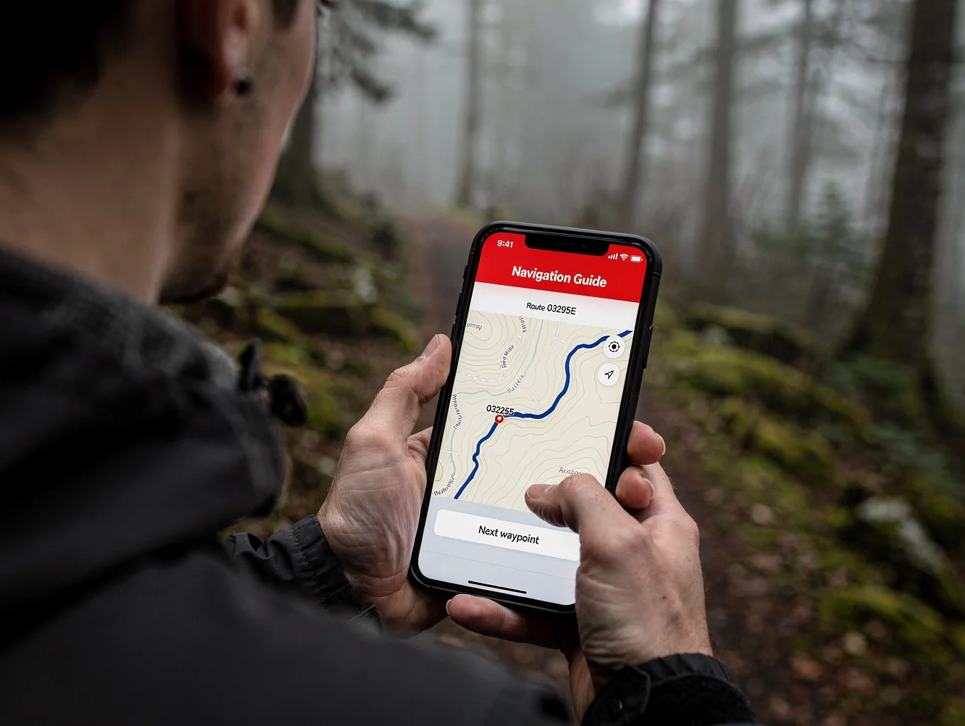
In a gray-man movement scenario, the most direct line between two points is rarely the safest. Avoid ridgelines, skylining positions, open meadows, and primary roadways that expose your silhouette to observation from afar. Instead, travel along intermediate military crests, drainage contours, and natural tree lines.
Use linear landscape features known as handrails—such as forest edges, dry riverbeds, or subtle contour shelves—to guide your movement parallel to your axis of advance. This approach simplifies navigation, minimizes constant compass checks, and keeps you shielded within natural concealment.
- 1Plot your movement axis along military crests and defilades rather than bare topographic summits.
- 2Identify continuous handrails that roughly parallel your primary bearing without requiring constant stops.
- 3Select intermediate rallying waypoints that offer both 360-degree observation and immediate secondary cover.
- 4Halt frequently in deep shadows to look back, confirm backward azimuths, and verify your retreat path.
Celestial & Solar Azimuth Cross-Referencing
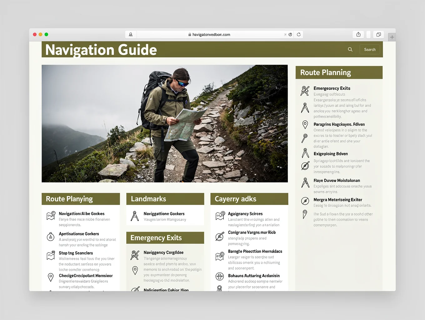
When electronic aids fail and magnetic anomalies or damaged compasses introduce doubt, celestial navigation provides an unjammable source of ground direction. The sun, moon, and visible star fields offer consistent directional markers once fundamental astronomical rules are understood.
During daylight hours, the shadow-stick method or analog watch face technique rapidly reveals east-west axes. At night, locating Polaris in the Northern Hemisphere via the Big Dipper pointer stars or using the Southern Cross in the Southern Hemisphere establishes a true north-south meridian within seconds.
- 1Drive a straight vertical stick into open level ground and mark the exact tip of its projected shadow with a small peg.
- 2Wait 15 to 20 minutes for the shadow tip to translate across the dirt, then mark the new terminal shadow point.
- 3Draw a straight line between the two markers; the first peg represents west and the second peg indicates east.
- 4At night under clear skies, trace five times the distance between the pointer stars of Ursa Major to pinpoint Polaris.
Essential Navigation Field Kit
- Liquid-filled sighting compass with tool-adjustable declination screw and mirror
- 1:24,000 scale USGS topographic quadrangle maps of regional transit corridors
- Heavy-duty waterproof map case or clear sealable map lamination pouch
- Pace-counting ranger beads (bead tally cord) calibrated to 100-meter intervals
- Fine-point permanent map markers, protractor square, and military UTM/MGRS coordinate grid reader
- Non-magnetic, red-filtered pocket LED light to preserve nighttime natural scotopic vision
- Durable mechanical pencil and waterproof all-weather field logbook for bearing records
More Guides in this Series
Standard operational protocol & readiness briefing.
Standard operational protocol & readiness briefing.
Standard operational protocol & readiness briefing.
Standard operational protocol & readiness briefing.
Standard operational protocol & readiness briefing.
Standard operational protocol & readiness briefing.
Standard operational protocol & readiness briefing.
Standard operational protocol & readiness briefing.